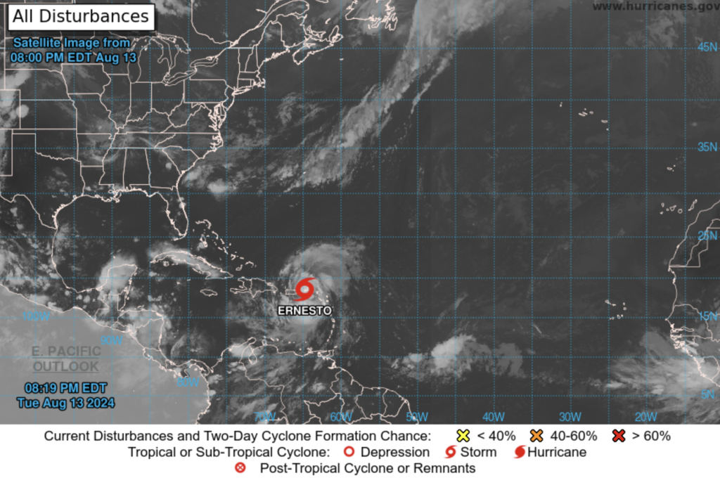
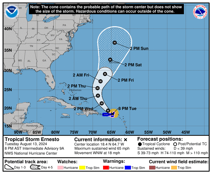
As the warm waters of the Caribbean churn beneath it, Tropical Storm Ernesto is poised to evolve into a formidable hurricane. Currently, Ernesto is beginning to show signs of gradual organization, with sustained winds of 60 mph and a central pressure of 1001 mb. Although some dry air and westerly shear have tempered its intensification, the storm’s trajectory and environment suggest that Ernesto could soon unleash its full fury.
A Dangerous Path
Ernesto’s movement has shifted to a west-northwestward trajectory, steering the storm toward the Virgin Islands. Expected to pass over these islands later this evening, the storm will continue its path northeast and north of Puerto Rico by Wednesday. As Ernesto encounters a deep-layer trough off the U.S. East Coast, it will likely turn northward, slowing down as it nears the island of Bermuda. The current track suggests that Bermuda could be in Ernesto’s crosshairs later this week, a development that has island residents and meteorologists alike on high alert.
Fueling the Storm: Warm Waters and Low Shear
Ernesto’s journey through the Caribbean is taking it over exceptionally warm sea surface temperatures, a key ingredient for tropical cyclone intensification. Combined with generally low wind shear, these conditions create a ripe environment for Ernesto to strengthen. The National Hurricane Center (NHC) forecasts Ernesto to reach hurricane strength within 12 hours, with the potential to peak just below major hurricane status in the next 60-72 hours. This rapid intensification is a stark reminder of the storm’s potential to become a significant threat.
Impacts on the Ground
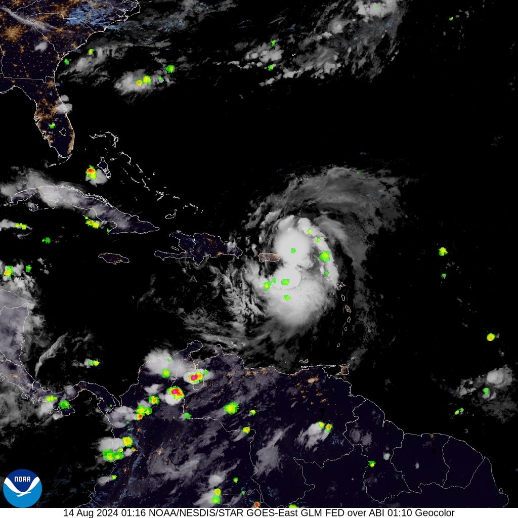
As Ernesto approaches, the northern Leeward Islands, Virgin Islands, and Puerto Rico are already feeling the storm’s effects. Tropical storm conditions are expected to persist through the night, with the possibility of hurricane-force winds battering the Virgin Islands, Culebra, and Vieques. The heavy rainfall accompanying Ernesto is likely to trigger flash flooding and mudslides, particularly in mountainous and hilly areas. This rain, combined with the storm’s intense winds, could lead to significant damage across the affected regions.
A Threat to Bermuda and Beyond
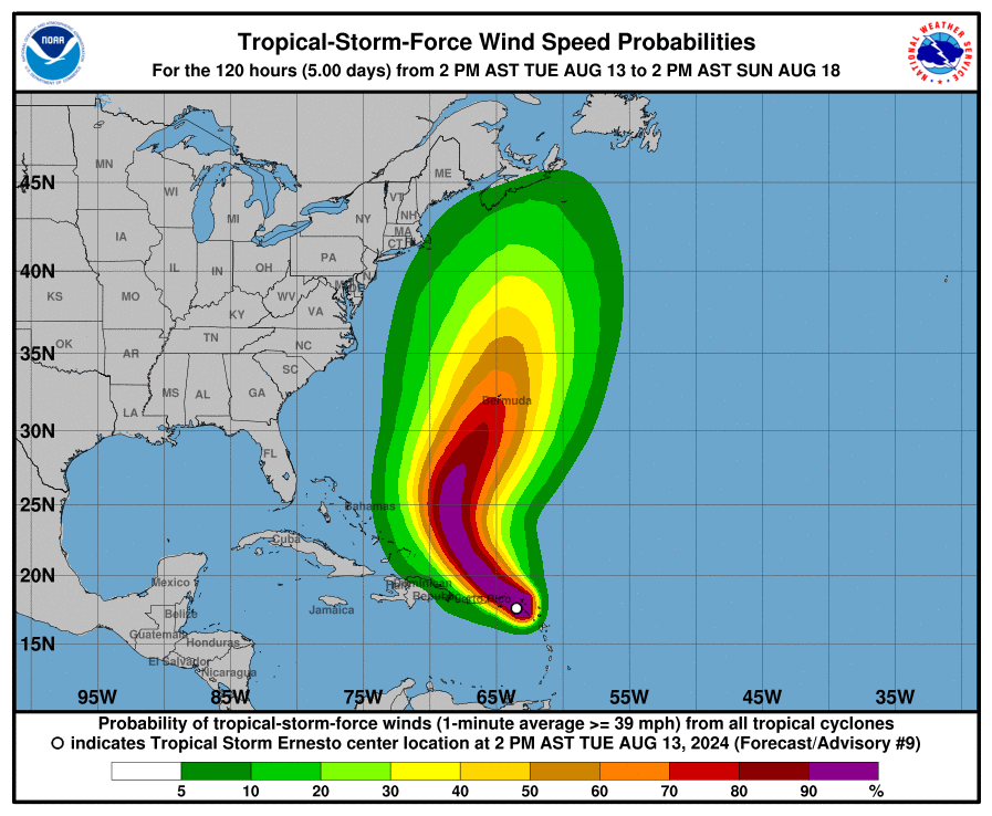
Looking ahead, Bermuda is preparing for the possibility of a direct hit from Ernesto as the storm slows down and moves northward later this week. The island’s residents are being urged to monitor the storm closely and take necessary precautions. Additionally, swells generated by Ernesto are expected to impact a large area, from the Virgin Islands and Puerto Rico to the Bahamas and the U.S. East Coast. These swells will be responsible for dangerous surf and rip currents, posing a threat to anyone near the shore.
The Uncertain Future
While Ernesto’s exact path and ultimate strength remain uncertain, the storm’s potential to become a powerful hurricane is clear. As the Caribbean braces for impact, residents and authorities are urged to stay informed and prepared for whatever this storm may bring. With the memory of past hurricanes still fresh, the next few days will be critical in determining whether Ernesto will join the ranks of the Caribbean’s most notorious storms.