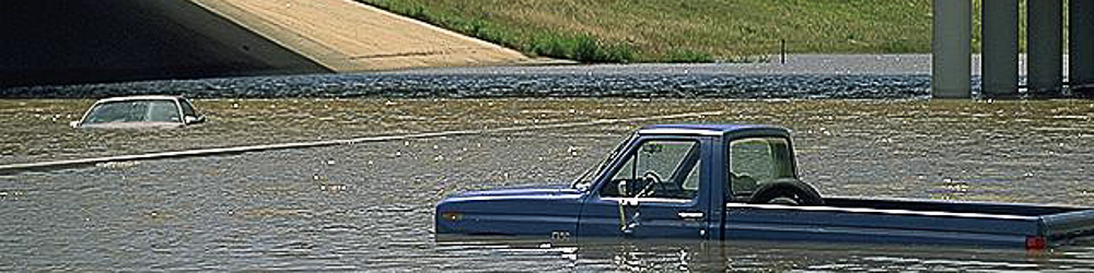
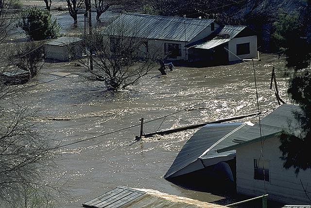
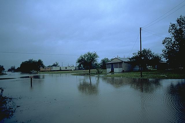
Flash Flood Support
Flash flooding remains the leading cause of weather-related deaths in the United States. At Skyview Weather, we recognize the critical importance of accurate and timely flood information. Our Flash Flood Support product is specifically designed to address two key scenarios: Flooding from excessive rainfall, and flooding resulting from forest fire burn scars. These burn scars are particularly susceptible to flooding, debris flows, and mudslides, even with relatively modest rainfall.
Flood Risk Forecasting and Operations
Our Flash Flood Support begins with a daily assessment of flood potential. Our team of seasoned meteorologists closely monitors weather conditions. As threat levels escalate before or during heavy rain events, we promptly relay updates to your team via the Skyview Weather mobile app and post real-time information on the Skyview Weather online member portal. Our goal: to keep you informed and prepared before flooding impacts your operations.
Vigilant Flood Monitoring
Skyview meteorologists employ a comprehensive suite of weather observation systems and technology:
- Upper Air Soundings
- Doppler Radar
- Rain and Stream Gauge Networks
- Satellite Imagery
- Weather Station Networks
- Trained Weather Spotters
The Superior Solution for Heavy Rain and Flash Flood Monitoring
While National Weather Service (NWS) public statements serve the general public, they often fall short in meeting the specific needs of emergency services or specialized locations such as baseball fields. Skyview Weather offers a superior alternative:
- Point-Specific Flooding Operations: Tailored to your precise location or incident site.
- Area-Wide Flooding Forecasts: Covering broader regions to keep your team ahead of the threat.
- Quantitative Precipitation Forecast (QPF): Our Flash Flood/Quantitative Precipitation Forecast provides more than just typical daily rainfall amounts. It also accounts for worst-case scenarios.
The lead time and expert forecasting provided by Skyview Weather are essential for implementing effective safety plans. Stay ahead of heavy rain and flooding with Skyview Weather – your partner in preparedness.
Interested? Get Started Right Away!