Over the next three days, Colorado is set to experience a variety of severe weather conditions, with the potential for thunderstorms, damaging winds, large hail, and flash flooding.
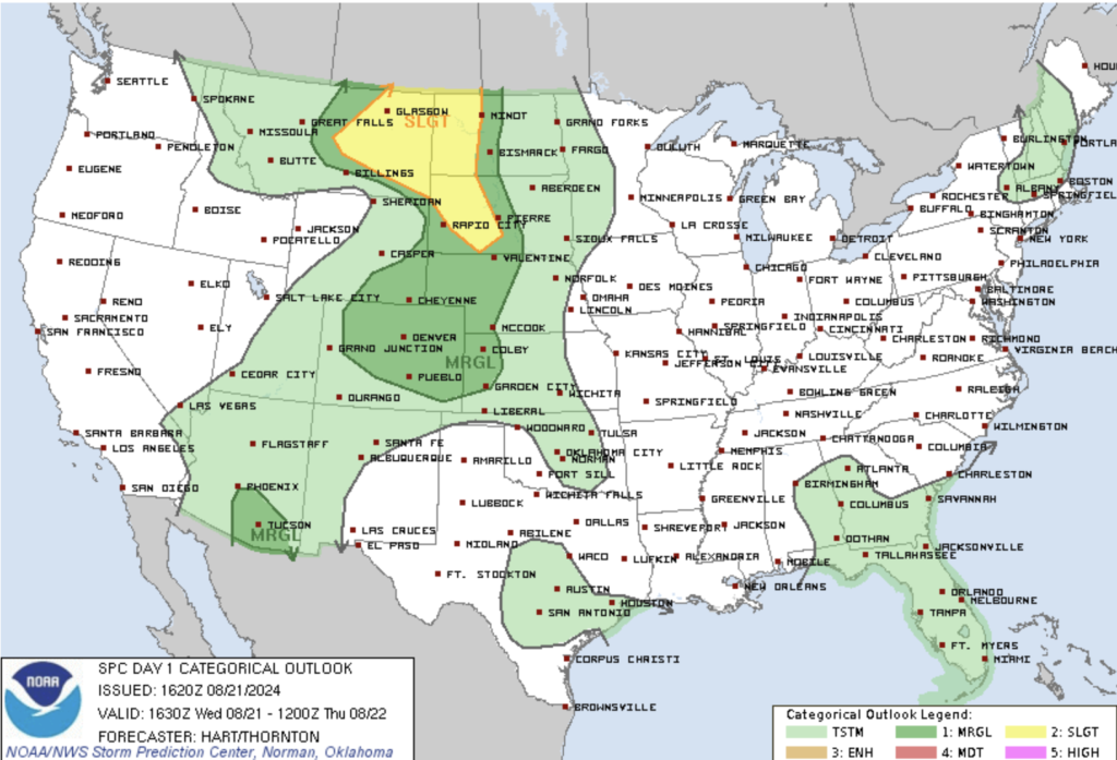
Wednesday, August 21st: Thunderstorms and Severe Weather
A shortwave trough moving through the region will enhance moisture and instability, leading to scattered thunderstorms primarily along the Front Range and into the eastern plains.
- Key Areas of Concern: The strongest storms are expected east of I-25, particularly from Sterling to Limon and eastward. Here, conditions will be favorable for the development of severe thunderstorms with large hail and damaging winds. CAPE (Convective Available Potential Energy) values are forecasted to reach 1000-2000 J/kg, providing ample fuel for these storms.
- Flash Flooding Risk: Although today’s storms will be more wind-driven, there is a marginal risk of flash flooding, especially in burn areas and regions that received heavy rainfall on Monday.
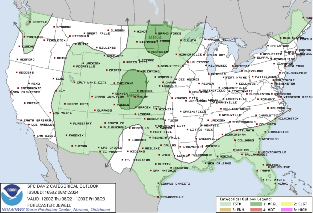
Thursday, August 22nd: Enhanced Storms and Flash Flooding Threat
Thursday is expected to bring more widespread cloud cover in the morning, which will keep temperatures cooler than normal, especially in the northern parts of Colorado. A weak shortwave trough will move through the area later in the day, bringing increased chances of thunderstorms.
- Storm Intensity: The best instability will be found along the Palmer Divide and to the east, where CAPE values and shear profiles suggest a potential for strong to severe storms. These storms may form into a quasi-linear convective system (QLCS), capable of producing damaging winds and heavy rainfall.
- Flash Flooding Potential: Due to recent rainfall and the possibility of additional heavy precipitation on Thursday, flash flooding could become a significant concern, particularly in areas like Elbert, Lincoln, and Washington counties. Storms may produce rainfall rates exceeding 2 inches per hour, which could necessitate the issuance of a Flash Flood Watch.
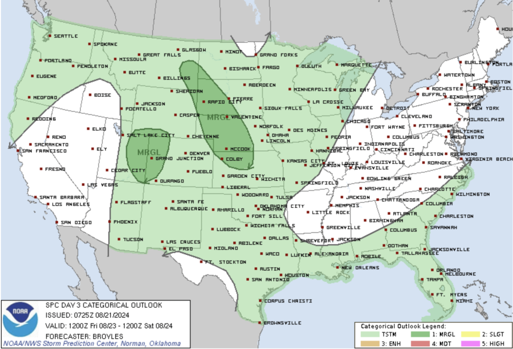
Friday, August 23rd: Scattered Storms and Marginal Severe Risk
By Friday, the weather pattern will shift slightly as an upper-level ridge begins to build over the region, leading to a decrease in overall moisture levels. However, scattered thunderstorms are still expected to develop during the afternoon and evening.
- Severe Weather Outlook: While the overall severe threat will be lower on Friday, there is still a marginal risk for isolated strong storms, especially along the Front Range and eastern plains. These storms may produce strong winds, with gusts potentially reaching severe limits.
- Flash Flooding Risk: The threat of flash flooding will continue, albeit at a lower level than on Thursday. Burn areas and regions that have seen significant rainfall over the past few days will still need to be monitored.
Summary
Colorado is facing a dynamic weather situation over the next few days, with the potential for severe thunderstorms, damaging winds, large hail, and flash flooding. Residents, especially those in the eastern plains and burn areas, should stay updated on the latest information and be prepared for rapidly changing conditions. The severe weather threat may decrease slightly by Friday, but caution is still advised as isolated strong storms and flash flooding remain possible.