Overview
Tomorrow, Colorado is set to face severe weather conditions, including thunderstorms, large hail, damaging winds, and the possibility of tornadoes. Here’s what you need to know:
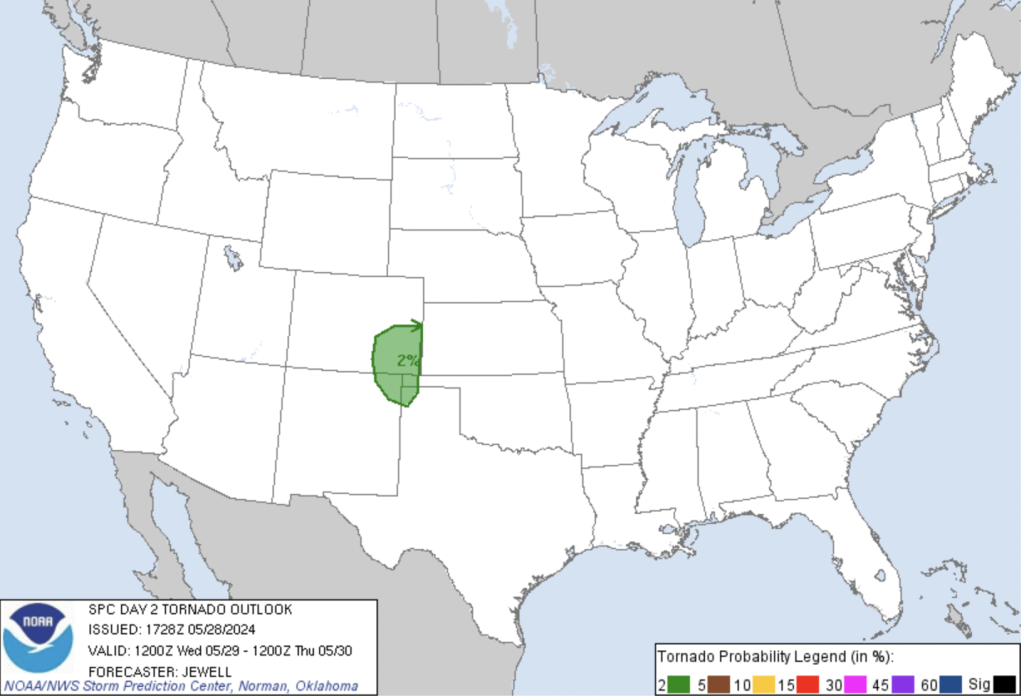
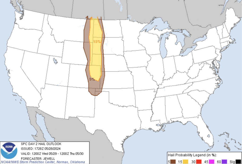
Storm Prediction Center (SPC) Outlook
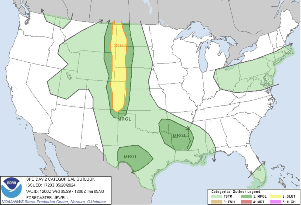
Specific Details
– Hail: Reports indicate baseball-sized hail in northeastern Colorado, with potential for hail up to 3 inches in diameter. Prepare for possible damage to structures, vehicles, and trees.
– Winds: Wind gusts up to 70 mph are possible, especially in areas like Akron and Washington County.
– Tornadoes: While the tornado risk is low, isolated weak tornadoes (land spouts) may occur in the northeast plains.
Summary
As Colorado braces for a severe weather showdown, a potent storm system is poised to impact the state. With thunderstorms, hail, and gusty winds expected, Wednesday promises atmospheric drama.
As the sun rises, a shifting weather pattern emerges. A deepening trough over the Northern Rockies sets the stage for severe weather east of the Front Range. Low-level southeasterly winds bring moisture and warmer temperatures, flirting with the 80s in lower elevations. Aloft, colder air steepens lapse rates, fostering atmospheric instability. Mixed-layer CAPE values of 1,000-1,500 J/kg suggest robust convective development, particularly over the rural plains.
By midday, the first rumbles of thunder will signal the onset of scattered convection, which will migrate eastward, gaining strength. While the urban corridor might experience drier conditions, the eastern plains will brace for more intense storms.
As storms move east, they may organize into severe cells, particularly across the eastern plains, where moisture and instability create a volatile mix. The central and northern High Plains will see strong heating and converging winds, fostering storm formation. Expect hail and gusty winds, with sporadic severe weather outbreaks anticipated.
Further south, from Oklahoma to the lower Mississippi Valley, scattered storms driven by convective disturbances and ample low-level moisture will pose additional threats of damaging gusts and hail.
Safety Precautions
Residents are urged to stay vigilant and heed warnings issued by local authorities. While thunderstorms can be captivating, safety should always be paramount. Batten down the hatches, Colorado—it’s shaping up to be a stormy ride.
Remember to stay weather-aware and take necessary precautions during severe weather events. Keep an eye on any alerts issued by the National Weather Service. Stay safe! 🌪️🌧️