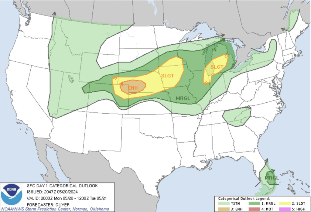
Coloradans are advised to stay weather-aware as the arrival of severe weather conditions approaches, including the possibility of tornadoes, across northeast Colorado this afternoon and evening.
Recent updates indicate a convergence of atmospheric factors conducive to the development of severe storms. Strong southerly flows and weakening atmospheric caps are expected to create favorable conditions for convective initiation. This could lead to the formation of a Denver Convergence Vorticity Zone (DCVZ) from southern metro Denver east and northeast toward DIA and onto the plains.
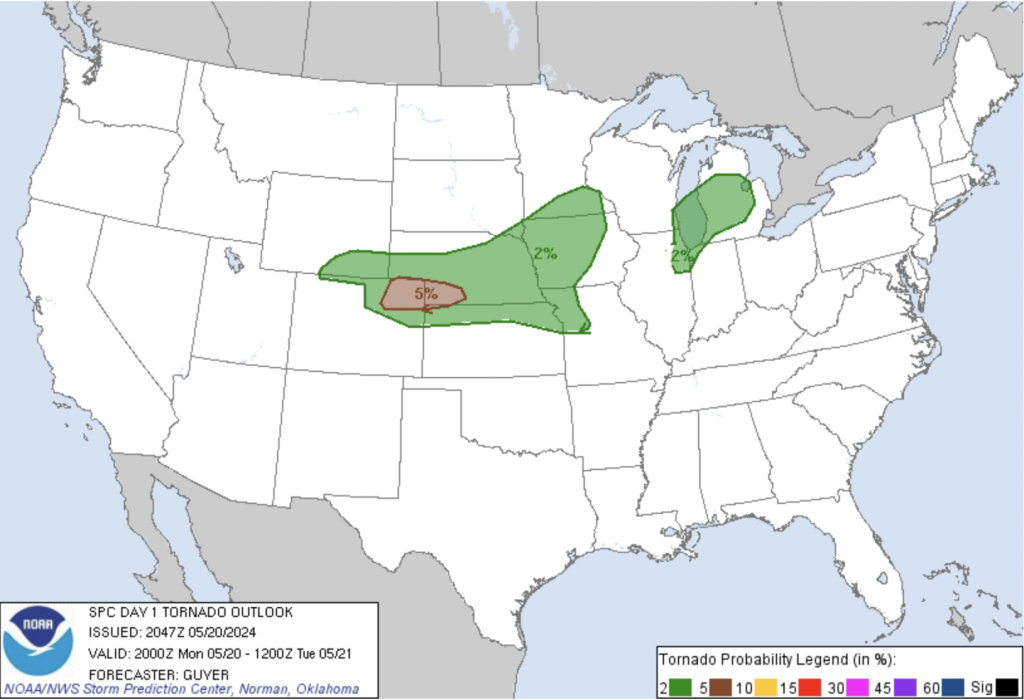
While there is a chance of tornado formation, the probability is relatively low, possibly affecting parts of the Denver metro area early on. The combination of factors like strong wind shear and enhanced low-level vorticity along the DCVZ/warm front may lead to stronger, longer-lived tornadoes than usual for northeast Colorado.
In addition to action this afternoon, the forecast suggests the likelihood of a second round of severe storms originating in southeast Wyoming, potentially impacting the northeast plains later in the evening. Moisture advection and increasing southeast flow support the persistence of severe weather conditions into the evening hours.
Residents are advised to stay informed, stay safe, and be prepared to take necessary precautions if severe weather threatens their area. It’s also important to note that while light snow accumulation is expected in higher mountain areas, a warming and drying trend is forecasted for the latter part of the week, providing some relief from the turbulent weather.
While the forecast may sound alarming to some (or exciting to others), staying informed and prepared is the best defense against severe weather. By remaining vigilant and having a plan in place, Coloradans can mitigate the impact of these weather events and ensure the safety of themselves and their communities.