Fire Weather Basics
Fire Weather, Lightning Activity Level (LAL), and the Haines Index
Skyview Weather provides fire weather operational services and fire forecasts to aid local firefighters across the Intermountain West. This article aims to elucidate Police, Fire, and OEM personnel of the terminologies used in Skyview forecasts and provide additional information about fire weather.
Lightning Activity Level (LAL)
The Lightning Activity Level (LAL) is a scale that describes degrees and types of lightning activity12. The levels are as follows:
LAL 1: No thunderstorms
LAL 2: Isolated thunderstorms. Light rain occasionally reaches the ground. Lightning is very infrequent, with 1-5 cloud-to-ground strikes in a 5-minute period.
LAL 3: Widely scattered thunderstorms. Light to moderate rain reaches the ground. Lightning is infrequent, with 6-10 cloud-to-ground strikes in a 5-minute period.
LAL 4: Scattered thunderstorms. Moderate rain is commonly produced. Lightning is frequent, with 11-15 cloud-to-ground strikes in a 5-minute period.
LAL 5: Numerous thunderstorms. Rainfall is moderate to heavy. Lightning is frequent and intense, with more than 15 cloud-to-ground strikes in a 5-minute period.
LAL 6: Identical to LAL 3, but the thunderstorms are dry (no rain reaches the ground). This type of lightning supports the potential for extreme fire activity and is typically highlighted in fire weather forecasts with a Red Flag Warning.
Haines Index
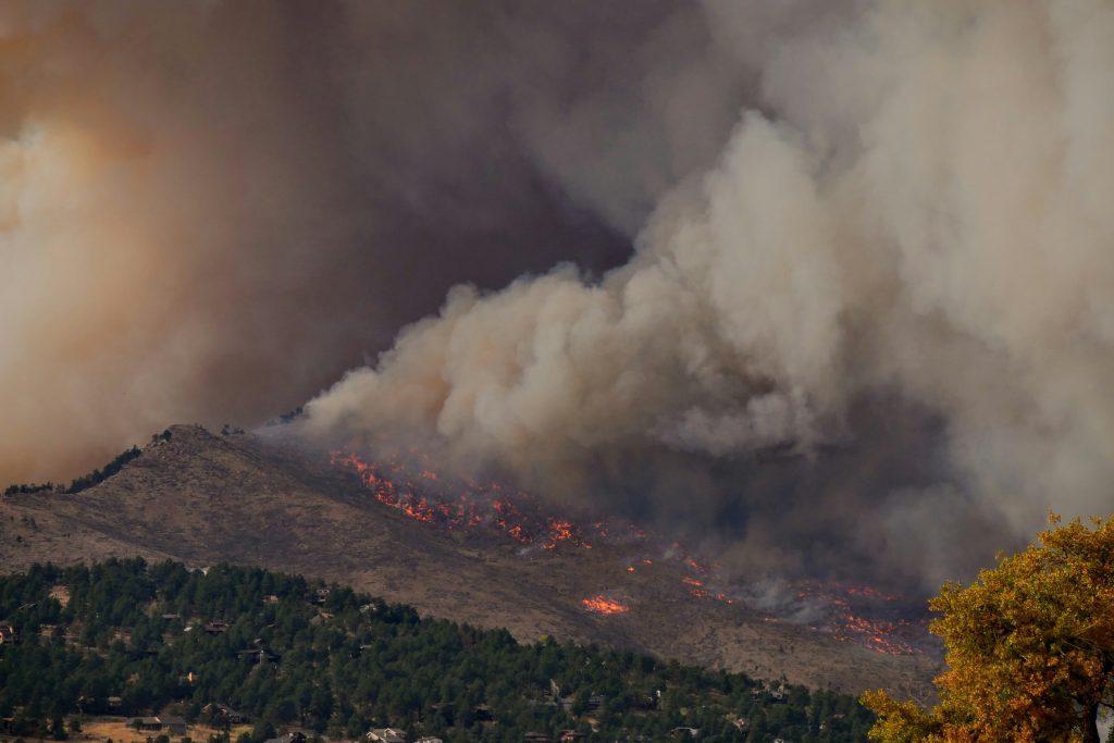
The Haines Index combines the effects of atmospheric instability and dry air to determine conditions under which an existing fire has the potential to spread rapidly. It is not intended to be used to predict the likelihood of a fire starting. Since wind is not a parameter of the Haines Index, it is most effectively used for plume-dominated fires, which can develop extreme surface winds through their own internal heat. The Haines Index has yet to be tested on wind-driven fires.
Haines Index:
2 or 3: Very Low
4: Low
5: Moderate
6: High
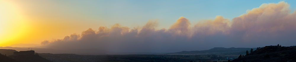
When Haines Index values are 4 or less, critical fire behavior is usually low with minimal fire spread. When the value is 5 or 6, the probability of extreme fire behavior, including torching, crowning, and spotting, is significantly increased. A high Haines Index value, in conjunction with a high LAL value and strong surface winds, can combine to create disastrous conditions. The Front Range of Colorado is particularly susceptible to Dry Thunderstorms and anomalously high lightning activity during Colorado’s Lightning Season.
If you liked this article, check out Skyview Weather’s growing library of educational weather and climate content. Skyview Weather also offers comprehensive in-person and virtual weather education and weather safety training classes to ensure you and your staff are informed and prepared for severe, winter, and fire weather.