After enduring a prolonged period of dry lightning and minimal rainfall, Denver is finally experiencing some much-needed precipitation. The arrival of rain marks a significant change in the weather pattern, with forecasts indicating a continued chance for thunderstorms over the next couple of days. This shift in weather comes as a relief to many, providing a temporary reprieve from the dry and hot conditions that have dominated the region.
Key Messages for Denver and Surrounding Areas
- Scattered Showers and Thunderstorms: Denver and its surroundings are expected to experience scattered showers and thunderstorms over the next few days. The primary threats with these storms include gusty outflow winds reaching up to 50 mph and brief heavy rainfall.
- Above Normal Temperatures: The region will continue to see above-normal temperatures through Wednesday, followed by a cooling trend in the latter half of the week.
- Increased Moisture: By Thursday, moisture levels are expected to rise, improving chances for showers and thunderstorms even at lower elevations.
- Fire Relief: The increased moisture will hopefully aid in controlling and extinguishing ongoing fires in the area.
Weather Forecast for the Next Few Days
Over the next few days, Denver will experience a dynamic weather pattern with scattered showers and thunderstorms. Tomorrow will be similar to today, with afternoon storms developing over the higher terrain. Southerly surface flow will increase the chances for more organized storms. With higher-than-normal precipitable water values, gusty outflows and brief localized heavy rainfall can be expected.
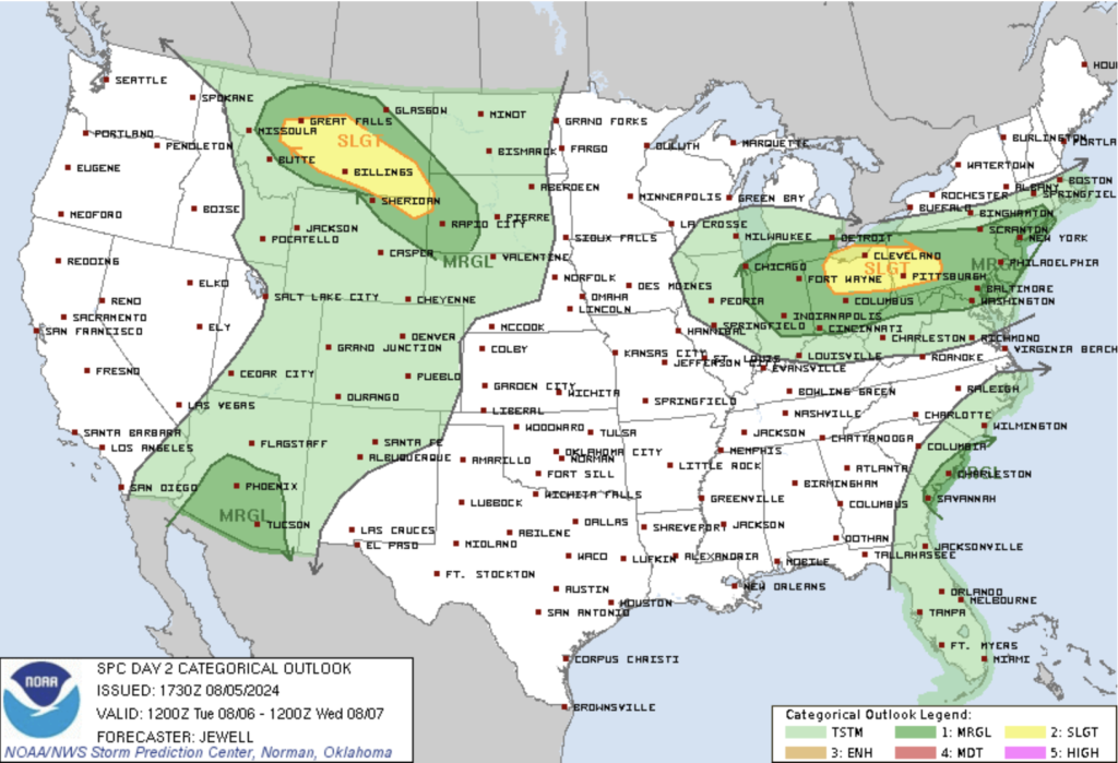
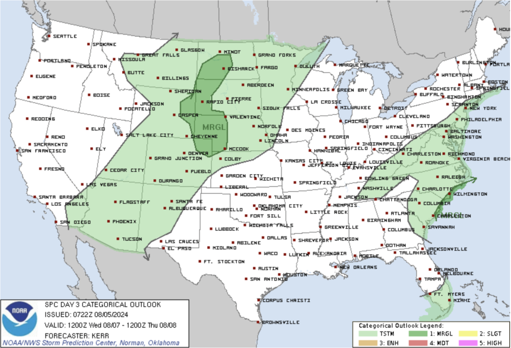
By midweek, portions of Colorado will be in a marginal severe area. The upper-level ridge will flatten, transitioning flow aloft to west-northwest. This change will bring slightly above-normal moisture levels, supporting scattered showers and thunderstorms. Instability will be modest, with higher instability across the eastern plains. This setup could lead to gusty outflow winds, light rain, and virga with showers and storms. There is potential for a strong to severe storm with gusty outflow winds on the eastern plains.
By the end of the week, a period of higher precipitation chances and slightly cooler temperatures will set in. Moisture levels will continue to increase, strengthening the coverage of showers and thunderstorms. Storms will be capable of producing localized heavy rainfall, increasing the threat for flash flooding, particularly over recent burn areas. The extended forecast into the weekend suggests that the plume of above-normal moisture will remain over the region, keeping scattered chances for showers and thunderstorms, with higher coverage over the high country.
Hydrology Concerns
The increased moisture and slow-moving thunderstorms over the next few days raise concerns for flash flooding, particularly in burn scar areas. With enhanced moisture levels and the potential for localized heavy rainfall, the flash flood threat will be elevated, especially towards the end of the week.
Fire Relief
The recent and forecasted rainfall is expected to provide much-needed relief to ongoing fires in the area, including the Alexander Mountain Fire near Loveland and the Quarry Fire near Ken Caryl. The increased moisture will aid firefighting efforts and help control and potentially extinguish these fires. This reprieve comes as a welcome change for residents and firefighters who have been battling the blazes in hot and dry conditions.