Western Colorado residents are no strangers to snow, but on January 9, 2017, they experienced something far more unusual—freezing rain. This rare weather event brought dangerous icy conditions, widespread power outages, and travel disruptions across the region, making it one of the most significant ice storms in Colorado’s history.
How the Ice Storm Developed
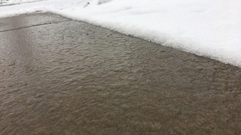
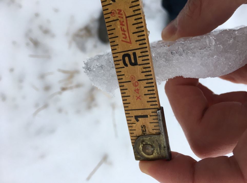
In the days leading up to January 9, a mild Pacific storm system moved into western Colorado, bringing a surge of warm air aloft. However, cold air remained trapped in valleys due to existing snowpack, forming surface-based inversions. As rain fell from the warmer layers above into the below-freezing surface air, it froze on contact, creating a hazardous glaze of ice.
Impacts Across Western Colorado
Freezing rain was first detected around 2 a.m. near Steamboat Springs, leading to power outages for over 4,600 customers west of Clark as ice-laden power lines collapsed. Between 4 a.m. and 6 a.m., the icy conditions spread across La Plata County, the Grand Valley, and Glenwood Canyon, creating treacherous road conditions.
- Highways Shut Down: Major roadways, including Interstate 70 between Grand Junction and Glenwood Springs and Highway 160 from Durango to Hesperus Hill, were closed due to numerous accidents and hazardous conditions. Cleanup efforts took much of the day.
- Emergency Services Overwhelmed: Hospitals in the Grand Valley saw record numbers of emergency room visits, with over 200 people treated for injuries related to falls on ice.
- Schools and Businesses Closed: The timing of the storm coincided with the first day back from winter break for Mesa County schools, leading to closures and transportation issues. Many businesses either delayed opening or remained closed altogether.
- Airport Disruptions: The Grand Junction Regional Airport was forced to shut down for several hours due to ice accumulation, leading to flight diversions and delays.
A Rare and Memorable Event
Freezing rain is an uncommon phenomenon in western Colorado, and this storm was particularly remarkable due to its extent and severity. Longtime residents of the Grand Valley, some with over 50 years of local experience, could not recall an ice storm of this magnitude occurring before.
Lessons Learned
Following the storm, meteorologists at the National Weather Service in Grand Junction conducted an after-action review to refine forecasting and warning protocols. One key takeaway was the need for earlier issuance of Ice Storm Warnings whenever freezing rain is detected, even if only in isolated areas.
The January 9, 2017, ice storm remains a stark reminder of how quickly Colorado’s weather can turn hazardous. It also highlights the importance of preparedness and quick response in mitigating the impacts of extreme winter weather.