Skyview Weather
Providing Enhanced Safety and Cost Savings Through Accurate Forecasting and Timely Updates
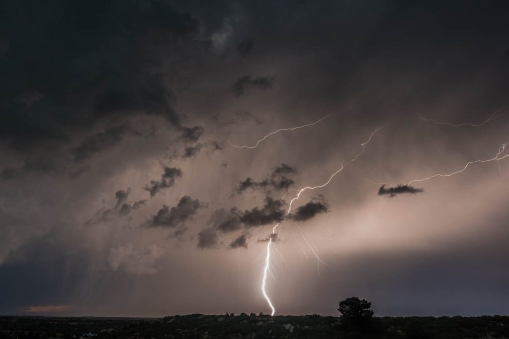
Severe Weather and Lightning Season is Here! Schedule Your FREE Trial Today!
Lightning Notifications
Personalized monitoring of satellite, radar, and lightning networks by our team of meteorologists focused on your precise location and needs.
Severe Weather Updates
Real-time notification of strong or severe weather targeting your facility, including assessment of actual risk, timing, and potential impacts.
Winter Weather
Timely updates and decision support for snow and ice potential within your service area or school district, with a focus on efficiency and safety.
SnowREPORT
Detailed report of meteorological conditions during snowfall event, snow totals, and detailed area map. Certified to be accurate.
Fire Weather Support
Custom fire-weather forecasts and briefing products, including real-time monitoring of fire weather conditions for your location or incident site.
Flash Flood Support
Prediction and proactive notification of heavy rainfall events capable of flash flooding, debris flows, mud slides, or excessive runoff in your area.
Special Event Coverage
Hand-crafted forecast products, real-time monitoring, and safety-focused decision support for weather-sensitive outdoor events of any size.
Education and Training
Personalized training by our staff of experienced meteorologists. We offer classes for severe weather, lightning safety, winter weather and more.
Custom Forecasts
Hand-crafted forecast products for your specific location and tailored needs. Verbal consultation from our staff of meteorologists.
Skyview Weather’s operational and forecasting services are trusted by partners across the US

Enhancing Safety and Cost Savings through Cutting-Edge Forecasting and Timely Updates
In the realm of weather forecasting and safety, Skyview Weather has been a steadfast ally for over 30 years, providing unparalleled services in Colorado and Utah. As a premier provider, we have carved a niche in the industry, offering a comprehensive suite of services that range from live weather support to detailed forecasts and extensive weather data and reports.
-
Free lightning apps provide generalized information and often lack the operational precision that Skyview Weather offers. For example, free lightning apps use the NOAA satellite lightning feed to estimate lightning activity using a 3×3 kilometer grid. This lightning data is approximate and only captures lightning flashes that are visible from space.
Skyview Weather uses USPLN data to provide instant operational lightning notifications, ensuring users have precise lightning strike information. This is particularly useful for outdoor events and safety planning. -
The Skyview Weather app uses United States Precision Lightning Network (USPLN) data to alert users. The USPLN offers several advantages over satellite lightning feeds:
Accuracy and Precision: USPLN provides highly accurate and precise data on lightning strikes, including exact locations and times. This level of detail is considered superior to what satellite feeds can offer, and is used by operational meteorologists across the industry.
Real-Time Data: USPLN delivers near real-time lightning data, which is crucial for safety and outdoor event planning. Satellite feeds may have delays in data transmission.
Comprehensive Coverage: USPLN covers a wide area with a dense network of sensors, ensuring comprehensive detection of lightning strikes across the United States. This extensive coverage can be more reliable than the broader, less detailed coverage from satellite feeds.
Data Quality and Reliability: The data from USPLN is often validated and verified, ensuring high quality and reliability. Satellite feeds might not undergo the same rigorous quality control.
These features make USPLN a preferred choice for professionals who need precise and reliable lightning data. The Skyview Weather app delivers this operational lightning feed directly into the hands of our clients.
Blog Posts
-
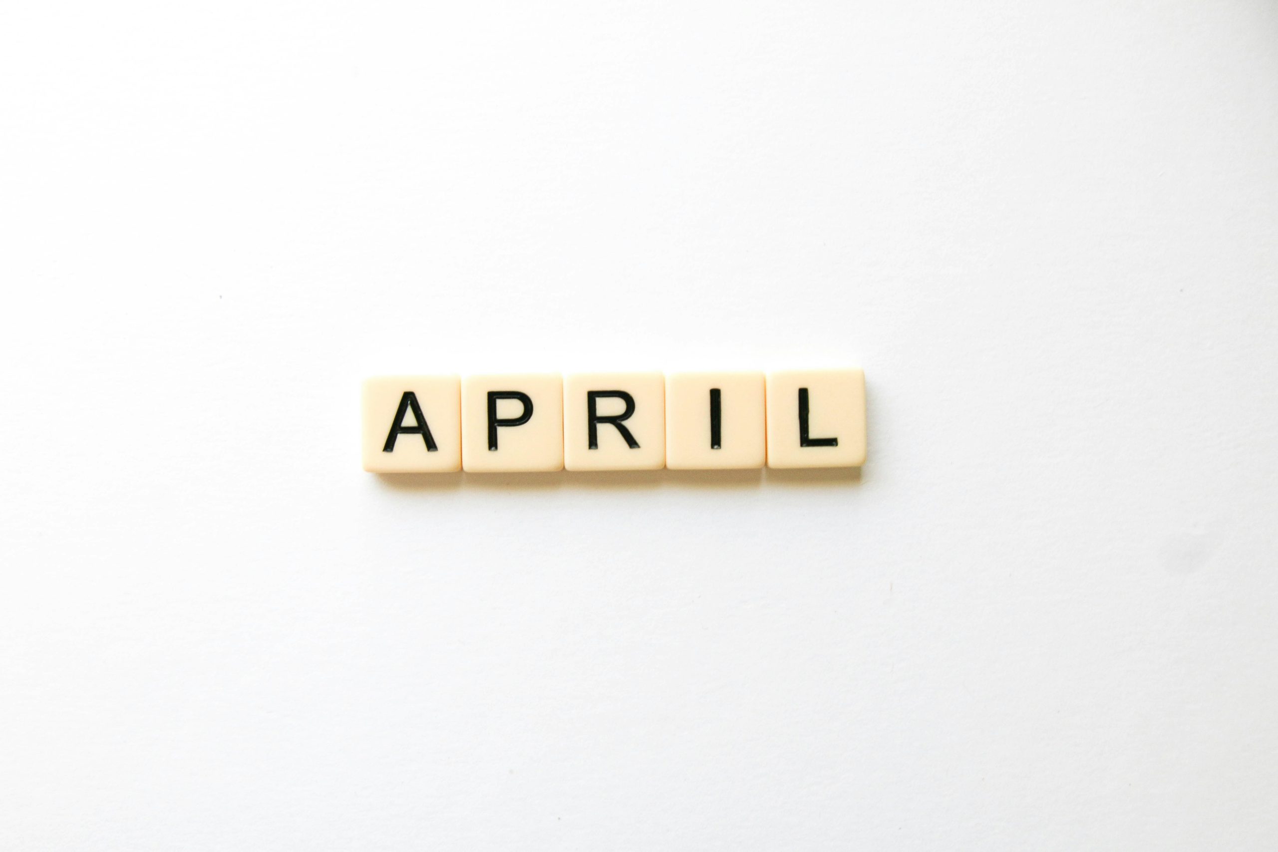
Denver’s April Fools’ Day Climate: A Look at History
Hurricanes and tsunamis are in store for Colorado this April 1st!!!! …………just kidding 😀 As Denver welcomes another April 1st, it’s worth taking a look back at the city’s historical weather patterns on this day. From warm, sunny conditions to snow-covered landscapes, April Fools’ Day has seen a wide range of weather over the years.…
-
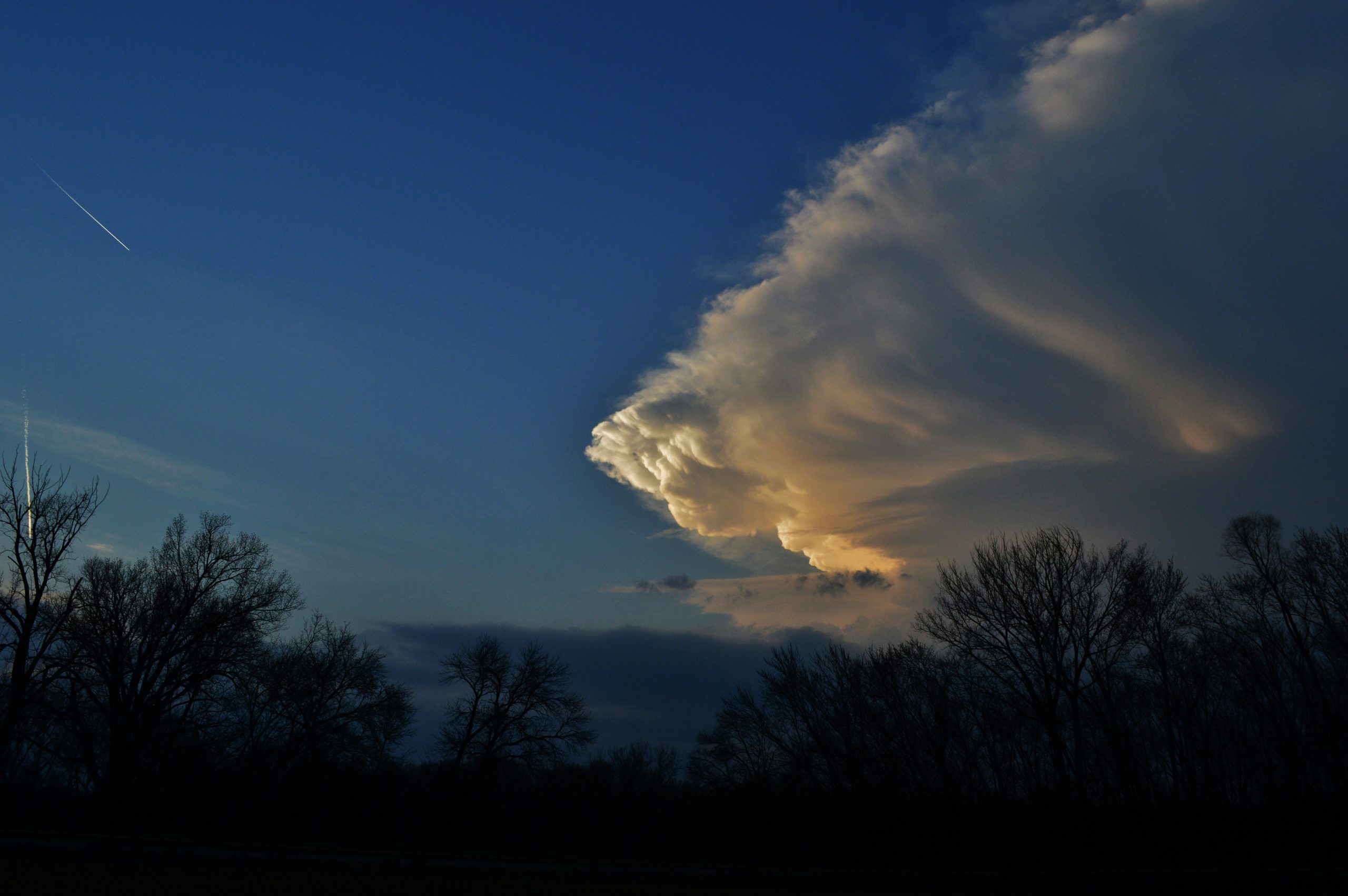
When Will Colorado Start Seeing Severe Thunderstorms?
After a long winter, Coloradans finally got a taste of spring over the weekend, with a few rumbles of thunder stirring excitement among weather enthusiasts. While these storms were relatively weak, they signaled the transition into a more active weather season. But when will Colorado start to see true severe thunderstorms? A Climatological Perspective on…
-
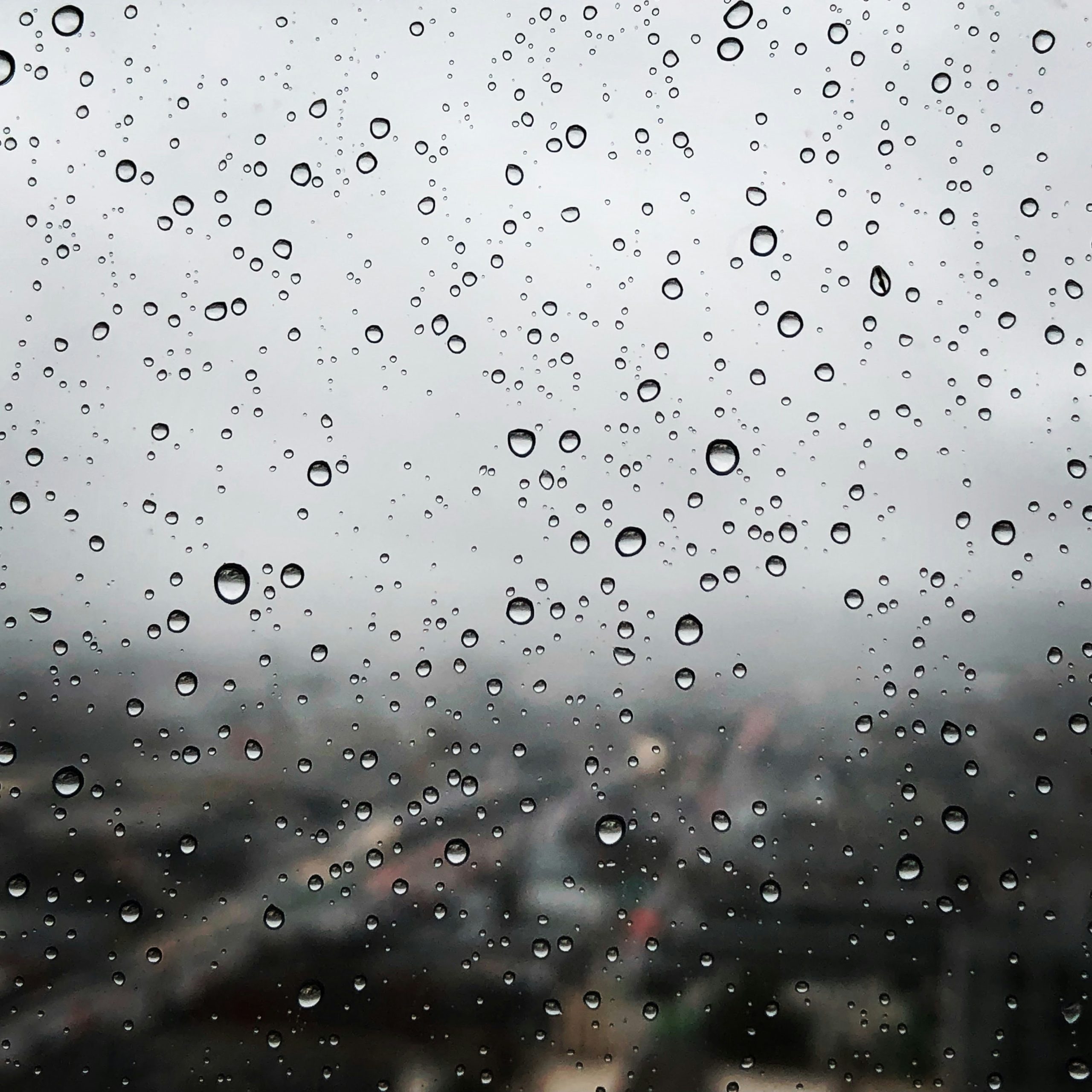
Denver Sees More Rain in a Few Days Than in the Past Few Months Combined
Denver just experienced its wettest day in nearly five months, as a significant rainfall event over the weekend delivered much-needed moisture to the region. On Saturday alone, Denver International Airport (DIA) recorded 0.96 inches of rain, setting a new daily record and making it the wettest day since late October. In total, from Friday night…
Current Conditions
National and local weather information. Click on the images to enlarge.
Western IR Satellite

Western WV Satellite

Eastern IR Satellite

National Radar

National Forecast

Day 1 Convective Outlook
